- Sammy Levin
- Feb 17, 2020
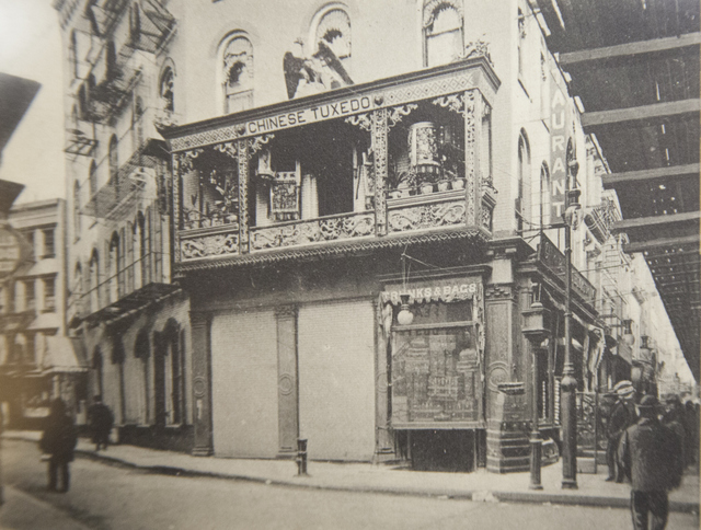
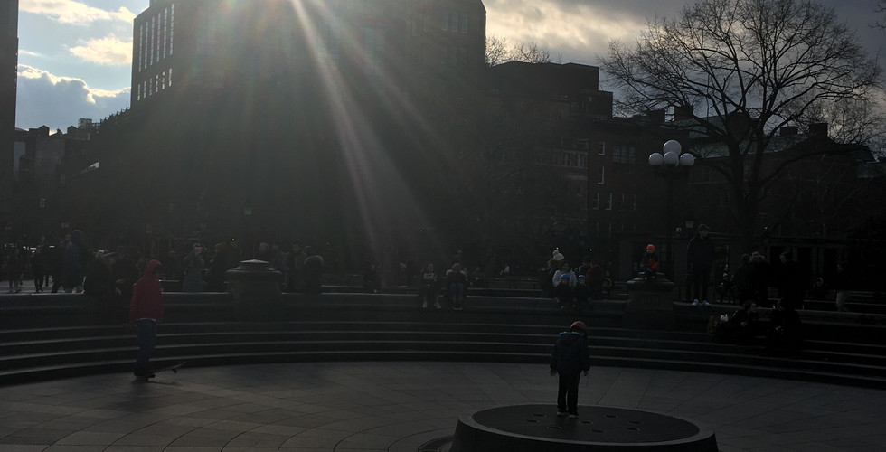
What I did: I'm currently working on a project at the New York Times that involves using photogrammetric modeling to recreate historic city sites in digital 3D. In order to collect my own photographs to create this digital environment, I visited the site in person to take photos of areas in comparison to their archived counterparts.
What worked: This time around, making a photo aesthetically-pleasing was not the priority. Instead, I aimed for qualities like sharpness, dynamic range, and minimal distortion in order to make the 2D-3D photogrammetric conversion process as smooth as possible.
What didn't work: For the sake of documenting my work, I wish I had gone back to the archived photos and tried to exactly match their composition and focal length. Perhaps on my next visit to the site, I'll try and do this.
General thoughts: These shots acted as an effective first survey of the site, and could be geometrically remapped in photoshop in order to work in the digital environment. I'll definitely have to stop back a couple times to gather more photos. Some things I've noticed when reviewing these photos is that I chose f4, but should have gone for a smaller aperture in order to keep the full length of the road in focus. Additionally, I could have leveraged HDR to get even more enriched dynamic range for more flexibility with colors and value in post.


